Input GeoJSON
ProcessId : 214797b7c22908afe49950f6
Input GeoJSON เป็นเครื่องมือในการนำเข้าข้อมูลที่อยู่ในรูปแบบ GeoJSON ซึ่งข้อมูลที่นำมาประมวลผล (Process) จะเป็นของมูล GeoJSON ทั้งที่เป็น จุด (Point), เส้น (Line), พื้นที่รูปปิด (Polygon) มาทำการ Execute ได้
วิธีการใช้งาน
ทำการกรอกข้อมูลและเลือกผลลัพธ์จากการวิเคราะห์ข้อมูล
Input :
- เป็นข้อมูล Text ที่อยู่ในรูปแบบ GeoJSON เท่านั้น
Result
- เลือกประเภทของผลลัพธ์ซึ่งมีอยู่ 2 ประเภท คือ
Vallaris FeatureGeoJSON
note
ประเภท Layer ที่รองรับ
- Point
- Line
- Polygon
ตัวอย่างข้อมูล Geojson
point.geojson
{
  "type": "FeatureCollection",
  "features": [
    {
      "type": "Feature",
      "properties": {},
      "geometry": {
        "type": "Point",
        "coordinates": [
          100.469970703125,
          13.998036539606128
        ]
      }
    }
  ]
}
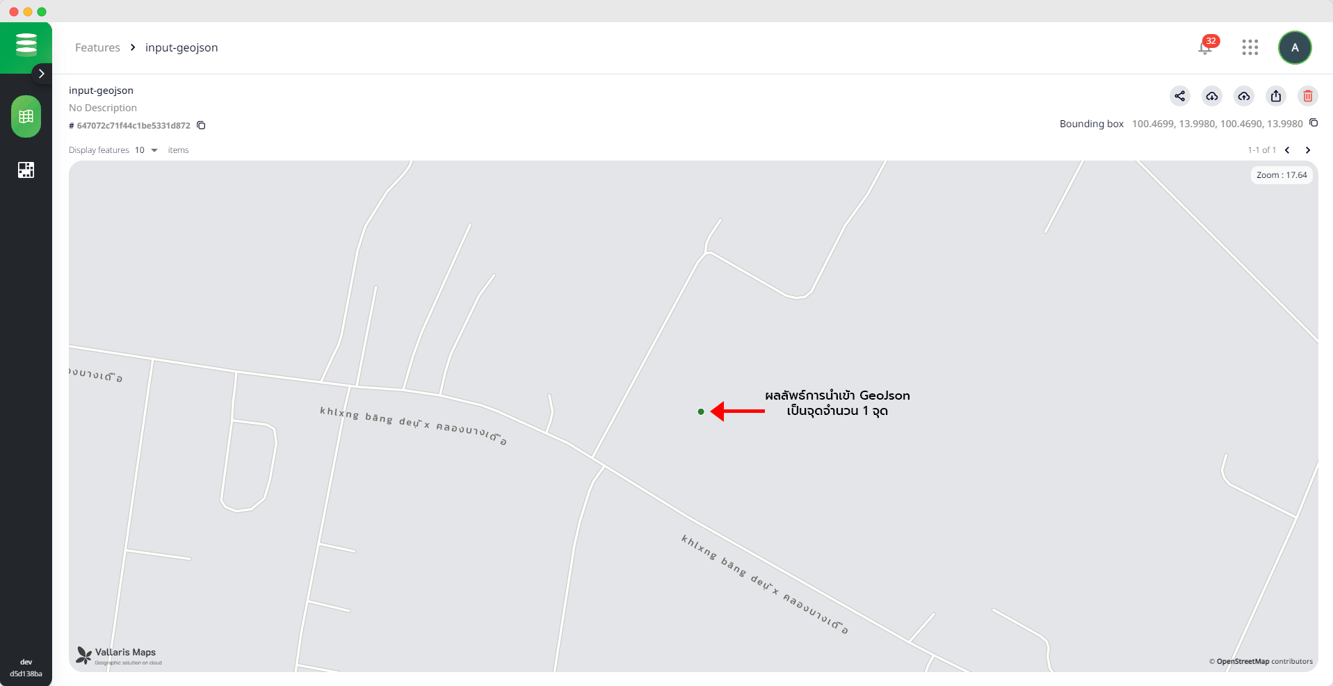
ตัวอย่างผลลัพธ์การนำเข้าข้อมูลเป็น GeoJSON